 Today's Outlook: An area of high pressure will continue to sit over the Southeast U.S. today and Friday. This will keep some drier air over us, and that is even lowering the humidity a tad too. It will also limit the amount of rain we see to only stray showers. However, there is an upper-level low in the Central Gulf of Mexico that is slowly moving to the west. This will not form into anything, but it will set off some coastal showers that could move inland. Therefore, expect partly cloudy skies with only stray showers today. Highs will be in the lower 90s, and it will feel like 95-100.
 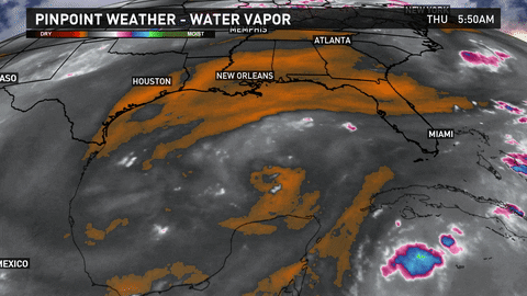 Tonight will be mostly clear and not as muggy with lows around 70 north and upper 70s south each day. Looks like there will be one more refreshing night on the Northshore before the muggy weather returns.
Weekend Forecast: The weekend will see an increase in the moisture and humidity as a tropical wave moves across the Gulf and a cold front stalls just north of New Orleans. The cold front will not likely get below the I-20 corridor, but that is close enough to help get us some rain. Saturday and Sunday will be partly cloudy and hot with spotty storms each day. Highs will be in the lower 90s and lows in the 70s.

Saints' Game Day: The Saints open their season this Sunday! Who Dat!! The weather will be nice for tailgating before the game with partly cloudy skies and a slight chance for a shower with temps. in the 80s. There will be spotty storms for the Noon kickoff with temps. around 90°, so it is good the game is indoors! After the game (and hopefully a victory) it will be mostly cloudy and hot with spotty storms. Temps. will be in the 90s.

Tropics: There is a broad area of low pressure, now Invest 93L, about 350 miles east of the Leeward Islands. It is moving to the NW and has a low chance for development over the next 5 days. Forecast models show it moving to the NW and then curving out to sea.
There is also a disorganized tropical wave located 500 miles SW of the Cabo Verde Islands. It is battling some dry air and wind shear, so it has a low chance for development in 2 days. Then it will move into a more favorable area for development next week and it has a medium chance for development then. Models show it staying out at sea.
Elsewhere...the rest of the tropics are quiet.

Watch my latest weathercast from Noon today here:
Comments