
More record warmth today, but some severe weather is possible tonight into Monday

You can expect another very unseasonably warm and humid day across Southeast Louisiana with some record highs!  Record highs are 80 for New Orleans and Audubon, and 78 for Slidell.  We will be mostly cloudy and could see an isolated shower or storm with highs in the lower 80s.  


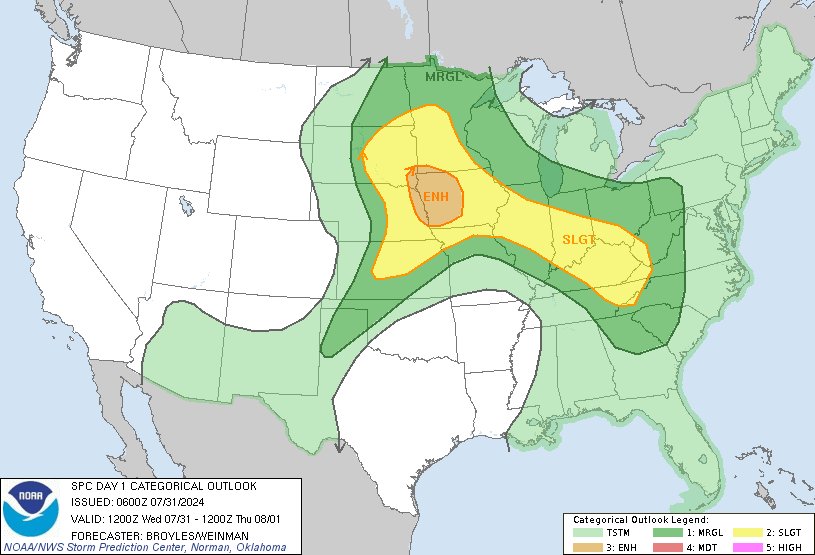
The weather will change beginning tonight as a strong cold front moves toward the New Orleans area.  Showers and storms will form ahead of a squall line that will move toward us from Texas.  Ahead of that line, we could see scattered thunderstorms, and they could be strong to severe with a few tornadoes, damaging winds, hail and heavy rain.  SPC has us in a Slight Risk for severe weather tonight/Monday Morning.  Lows will fall to the upper 60s.  Make sure you stay tuned to WWL-TV and my Facebook and Twitter feeds for weather updates! 

Monday Morning will start out stormy as the squall line and cold front move into New Orleans between 5-8 AM.  These storms could also be strong to severe with a few tornadoes, damaging winds, hail and heavy rain. Once the cold front moves through, temperatures will fall and it will become windy.  High temperatures in the upper 60s will occur in the morning, but they will fall to the lower 60s by late morning and drop into the upper 50s by the late-afternoon.  

Any rain will end by Monday Night and we will continue to be mostly cloudy and breezy.  We will become much cooler with lows in the 40s.  

Tuesday will be a mainly dry and cooler day with mostly cloudy skies and highs around 60.  Tuesday Night will see a change in the weather again as the cold front retreats back to the north.  This will give us steady temperatures around 60, but it will bring us scattered showers once again.  

Wednesday will be another stormy day as the cold front continues to move to the north.  Some heavy rain will be possible along with scattered thunderstorms.  I'm not expect any severe weather at this time, but a few storms could be strong with gusty winds.  Highs will be in the mid 60s.

We will finally start to dry out on Thursday and this drying trend continues into the weekend.  We will also become MUCH COOLER with highs only in the 50s for the rest of the week!  Finally some Winter Temperatures!  Lows will be in the 40s. 

Comments

Popular posts from this blog

Comparison between Hurricane Matthew's possible forecast track loop vs Hurricane Betsy's

Some of you have been calling to say that Matthew's forecast to do a loop in the Atlantic Ocean off the SE U.S. is the same as what Hurricane Betsy did back in 1965. Well...that is not true. Betsy formed on August 27, 1965 just off the Leeward Islands. It quickly became a tropical storm on the same day, and then became a hurricane on August 29.  It made a few loops in its track with one north of Puerto Rico and a second north of the Bahamas.  There is a strong area of high pressure that was preventing Betsy from moving to the north, and that is what caused it to loop.  After the second loop, it then moved SW across the Bahamas, then turned west to move over far South Florida and then into the Gulf.  It eventually turned to the NW and quickly tracked right to New Orleans where it made landfall as a major hurricane on September 9th. Hurricane Matthew formed in the Atlantic east of the Leeward Islands as a tropical storm on September 28. It quickly moved west into t...

Flash Flood Watch now until Thursday Evening for WBRZ Viewing Area

The NWS in Slidell, LA has issued a  Flash Flood Watch for all of the WBRZ Viewing Area starting now and continuing until Thursday Evening. Rain has been falling for the last few hours and we have already picked up over 1.30" in Baton Rouge.  This is WAY more than the forecast models were predicting for this time.  The area of low pressure continues to develop over South Texas and a warm front will move up from the Gulf of Mexico by Wednesday Morning.  This will spread widespread rain and a few thunderstorms over Southern Louisiana all night and into Wednesday.  Then it looks like we will taper off the rain to just scattered showers during the day on Wednesday. On Wednesday Night, a cold front will move out of Texas into Louisiana.  As this happens, a squall line of thunderstorms is expected to move ahead of it and through Baton Rouge on Thursday Morning.  Some of these storms could be strong to severe with damaging winds and a few tornadoes. ...

The Great Flood of 1983

It was 30 years ago that the Baton Rouge area experienced what is likely the worst flood in its history!  On April 5-9, 1983 we were hit with 6 to 13 inches of rain from a slow-moving storm.  This rain quickly ran off into the Amite, Comite, Tickfaw and Tangipahoa River Basins.  Some of the highest rainfall totals were in the headwaters of the Amite River in the Felicianas and South Mississippi.  Also, there were some strong easterly winds which slowed down the water from draining into Lake Maurepas and Pontchartrain.  These were some of the reasons why the flooding occurred in Baton Rouge & Denham Springs.  The weather map to the right shows the weather for April 8, 1983. A stalled front over the Southeast U.S. lead to the heavy rain event and flooding. The rivers quickly rose and spilled out of their banks.  The rain didn't stop, so the water continued to rise and rise.  Rivers rose to what are still the record levels.  The Amite in D...